Actions
bug #8310
closedIssues to solve in E+M shapefile
Status:
Closed
Priority:
Highest
Assignee:
Category:
geotools - map service
Target version:
Start date:
Due date:
% Done:
100%
Estimated time:
Severity:
normal
Found in Version:
Description
- add Kosovo (Yu(K) or Ko) and Serbia (Se) as area (without parent information) see #3908#note-14 DONE
- add parent information to Si(M) and Si(S) => parent: Si DONE
Add explicit areas to all parent areas to avoid showing borders if only parent area has data.
- This needs to be done for all parent areas in the E+M Areas vocabulary (=> term editor) and DONE
- for parent areas without explicit sub areas like Cc, Tcs, Bt, SM (still needs discussion with ERS if this is wanted ==> ERS: "ja bitte", see comment #8310#note-14 below)
.... Still to do:
Create parent area polygons
- Baltic states (Estonia, Latvia, Lithuania) and Kaliningrad region [ee13fb74-f3ac-46b1-9f23-6a25ac504446]: Bt = Es + Lt + La + Rf(K) - DONE
- Caucasia (Ab + Ar + Gg + Rf(CS)) [05b0dd06-30f8-477d-bf4c-30d9def56320]: Cc = Ar + Ab(A) + Ab(N) + Gg(A) + Gg(D) + Gg(G) + Rf(CS) - DONE
- Former Czechoslovakia [2ada45f0-c7cc-4026-a8b1-b816971f0753]: Cz = Cs + Sk - DONE
- Israel, Palestine and Jordan [9351b972-0c0b-4a97-87b1-4cc11e67d21e]: IJ = Ir + Jo - DONE
- Former Yugoslavia (former) [bd5e6833-7e0e-41a8-83d6-149a31f2ce05]: Ju = BH + Ct + Mk + Sl + Sr + Cg + Sr + Ko + Se --> see also PARENT Area in mapefile - DONE
- Serbia, with Kosovo and Montenegro [ac360fc1-30f4-444a-92eb-b55bf98b8e97]: SM = Sr + Cg - DONE
- Lebanon-Syria [f7bfdae0-3dd9-4fc4-9b0b-0bf203b94031]: LS = Le + Sy - DONE
- Russia [4b6bdfee-2bcb-4638-99cf-0f9612fa4787]: Rf = Rf(A) + Rf(C) + Rf(CS) + Rf(E) + Rf(K) + Rf(N) + Rf(NW) + Rf(S) - DONE
- South Caucasus [904c3980-b98d-422e-a195-95f4f41fc734]: Tcs = Ar + Ab(A) + Ab(N) + Gg(A) + Gg(D) + Gg(G) - DONE
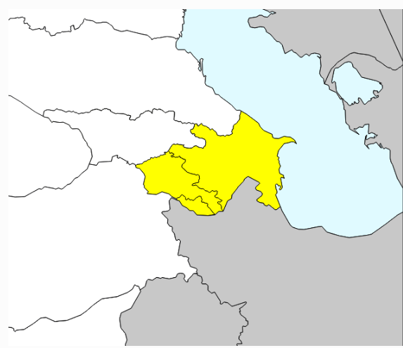
- Azerbaijan, with Nakhchivan: Ab = Ab(A) + Ab (N) - DONE
Rename
- Crimea from
Uk(K)toCm- DONE
Remove
- It = It(S) + It(V) + It(I) ==> remove It(S) + It(V) + It(I)
- duplicate Hb(E), Hb(N) - DONE
After fixing this ticket adapt the technical annotations for the respective areas. Once the shapefile contains all these areas the web service bases import can be uses:
http://test.e-taxonomy.eu/cdmserver/euromed/ext/edit/mapServiceParameters/mapShapeFileToNamedAreas.json?localFile=/home/developer/euromed_2013.csv&idSearchField=EMAREA&wmsLayerName=euromed_2013&vocabularyUuid=625a4962-c211-4597-816e-5804083efe26
Links for testing areas in server:
Files
Related issues
Actions